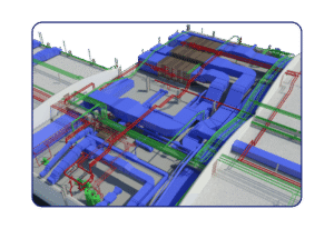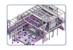
Enhance project planning and site analysis with PASMEC’s GIS Attribution services—combining location data with powerful BIM tools.
At Prodigy, we offer specialized GIS Attribution Services that transform raw geospatial data into actionable insights. By assigning detailed attributes to GIS features—such as location, dimension, ownership, zoning, utilities, and land usage—we help clients manage assets, analyze spatial patterns, and make data-driven decisions for smarter planning and operations. Whether you’re managing infrastructure, urban planning, utilities, or real estate assets, our GIS attribution solutions add depth, clarity, and value to your mapping data.
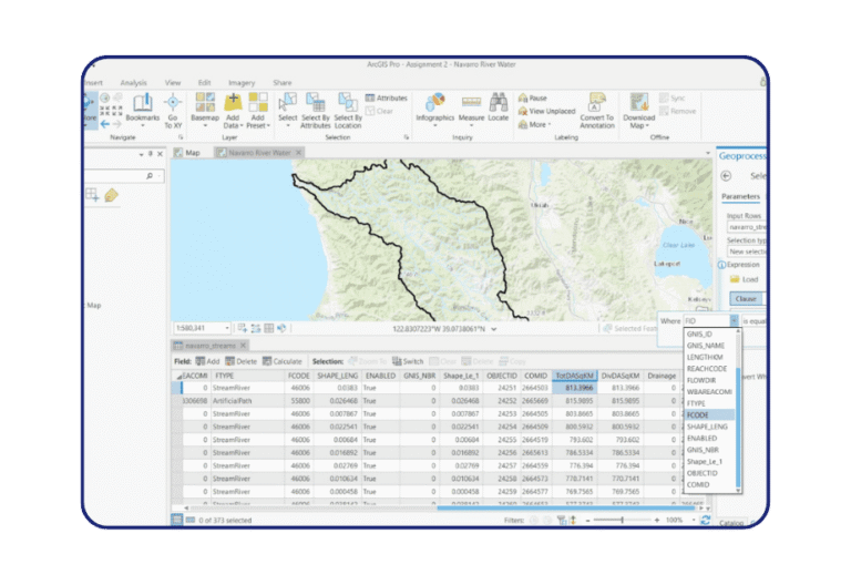
GIS Attribution refers to the process of assigning descriptive information (attributes) to geographic features (such as roads, buildings, land parcels) in a spatial database. This allows each map feature to carry critical metadata, which can be analyzed, filtered, and visualized for decision-making.
Domain Expertise – Our GIS team combines knowledge in civil engineering, urban planning, and BIM integration.
Precision & Accuracy – We use satellite imagery, drone data, LiDAR, and survey maps to ensure attribute accuracy.
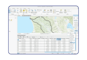
Smart Integration – Seamless compatibility with platforms like ArcGIS, QGIS, AutoCAD Map 3D, and BIM tools.
Scalable Solutions – Suitable for large-scale infrastructure projects, smart city planning, and utility mapping.
Custom Output Formats – Deliverables tailored to your preferred GIS or BIM environment.